Natural Hazards Science
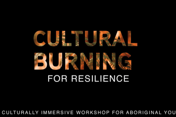
This project was a partnership between the Murramarang Local Aboriginal Land Council and community, Yuin elders and school children, the NSW Bushfire Hub and the University of Wollongong…

FESM DashboardFrom the 2025-26 fire year, near real-time FESM data for wildfires will be published through each fire season. Analytics will be presented in a live dashboard. To access the…
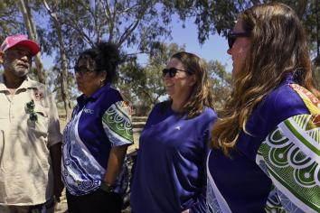
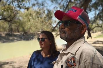
This video explores the ongoing work of the Darling Baaka River Health Program, a collaborative effort led by the NSW Environment Protection Authority and DCCEEW in partnership with the…
NSW Post-fire Biomass Recovery Monitoring for 3 years following 2019–20Remote sensing scientists at NSW DCCEEW have developed a novel approach for broad-scale, early monitoring of post-fire…
Fire Heterogeneity; understanding impacts of landscape patterns of fire for biodiversity conservation and fire risk management. Remote sensing scientists from the NSW Department of…
Using a combination of high-resolution satellite imagery and machine learning, remote sensing scientists at DCCEEW routinely map the severity of fires in NSW, aiding partners in…
Machine learning methods will be developed that utilize dense time-series of C-band SAR (Sentinel-1) and optical (Sentinel-2) data to map the evolving burn scar as the wildfire progresses…
Satellite based active hotspot products are numerous and freely available in Australia. While multiple theoretical and actual measures of performance exist, understanding the relative…